

Via Dinarica Bosnia - Bjelasnica mountain (4days)
From EUR 550




DEPARTURE DATES
- April 22 - 25, 2027
- May 27 - 30, 2027
- June 24 - 27, 2027
- July 12 - 15, 2027
- August 26 - 29, 2027
- September 27 - 30, 2027
- Category
- Hiking
TRIP HIGHLIGHTS
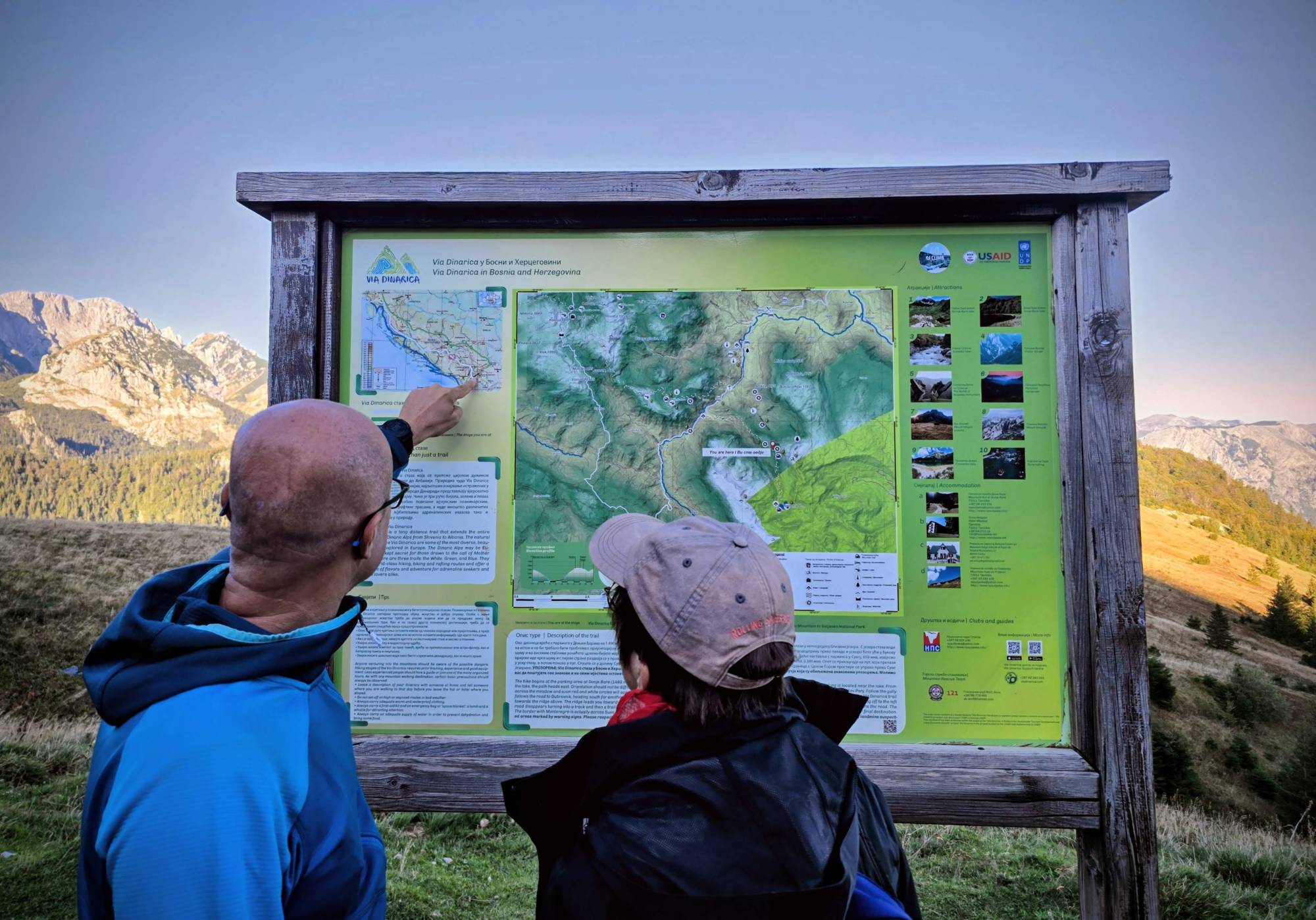
- Explore a section of the Via Dinarica long-distance hiking trail
- Lukomir Highland village - highest populated place in Bosnia
- Descent into Rakitnica canyon, the least explored area of Southeastern Europe
- The ascent of Vito summit (1,960m) and scenic ridge walk
Day 1:
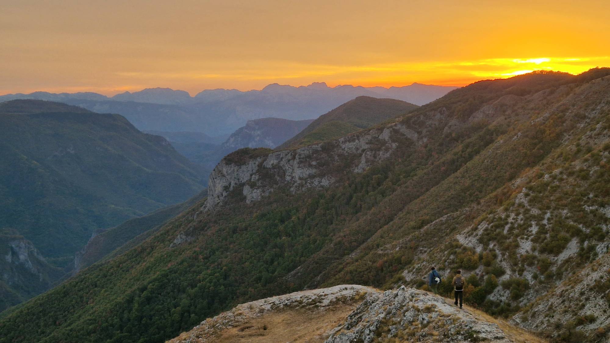
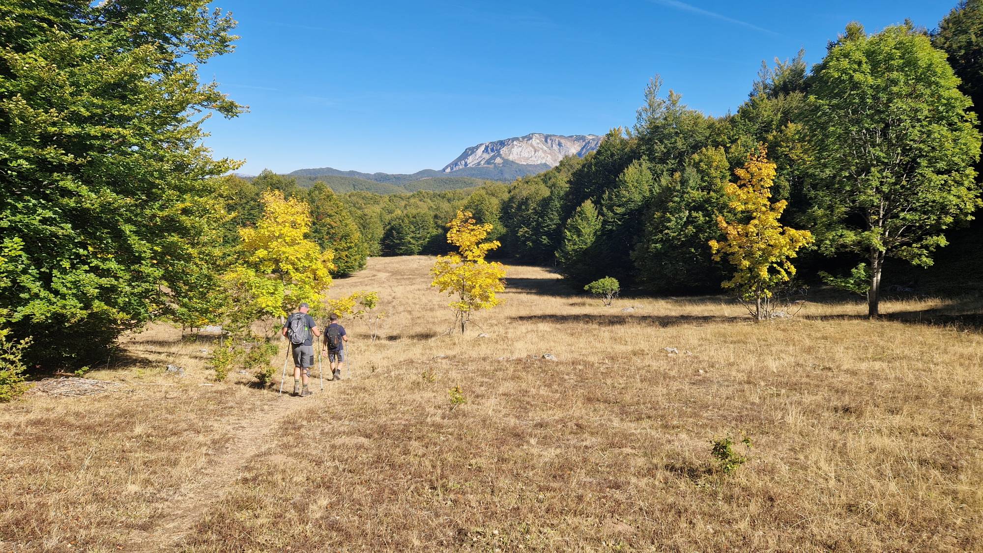
Today we’ll be trekking at Bjelasnica Mountain. After the transfer to the small village of Vrdolje, the trail starts directly from the hotel, where we stay tonight. This area was a home for centuries of shepherd communities in this part of Bosnia. This initial section cuts through a mix of dense forest patches and open clearings. Because this segment lacks formal hiking trail markers, you will be walking along dirt roads worn by local vehicles and shepherds. Once you arrive near the Rakitnica Canyon, the terrain transitions into a well-marked, open mountain trail. The forest clears completely, exposing you to the classic high-altitude karst landscape of the Dinaric Alps.
You will walk across sweeping limestone ridges, rolling mountain meadows, and grassy plateaus. The incline here is mostly moderate, with undulating hills. We return via an alternative route for a well-deserved dinner. Approximately 5-6 hours of walking
Accommodation: Hotel Jelica, Vrdolje village
Meals: L, D
Day 2:
The hike today takes us from our accommodation toward the village of Blace and to the historic village of Lukomir via the Markovac ridge, a spectacular, high-altitude mountain trek along the western side of Mount Bjelasnica. Crossing the open terrain to Blace, the trail sharply cuts left and heads straight uphill. This is the most physically demanding ascent of the day, taking you quickly up to the peak of Markovac (1,458 m). The footing requires attention due to uneven limestone clusters hidden in the alpine grass.
From Markovac, you merge onto a well-marked section of the Via Dinarica White Trail. The terrain here is an incredible high-altitude ridge walk that rolls across successive peaks, including Veliki Lisac (1,504 m) and Mali Lisac (1,408 m). Crossing the plateau of Lovnica, the terrain becomes much gentler with mild, rolling hills. The trail guides us directly into the stone-and-wood mountain architecture of Lukomir.
Lukomir is Bosnia’s highest village at 1,469m, with its ancient stecci (medieval tombstones) where villagers still follow a traditional shepherd way of life. On the edge of the village, there is a fabulous view of Rakitnica canyon, Obalj, and Visocica. You have arrived at the end of the world. Approximately 5-6 hours of walking
Accommodation: Pension "Ljetna Basta", Lukomir village
Meals: B, L, D
Day 3:
After a tasty homemade breakfast, we will start the hike with a descent into the deepest and least explored area in this part of Europe, the Rakitnica canyon.
The trail is constantly zig-zagging downhill until we reach the Rakitnica River, at the deepest part of the canyon. The long descent via old shepherd trails ends with the crossing of one of the old suspension bridges, the “Indiana Jones” style and ascent to the opposite side to Bobovica village. From here we will follow the meadows and green pastures of Visocica mountain to the Vrela Hut, our “base” for tonight. Approximately 4-5 hours of walking
Accommodation: Mountain Hut Vrela, Tusila village
Meals: B, L, D
Day 4:
The ridge of Vito peak (1,960m), our highest point of today’s hike, is visible in the distance and creates one of the most attractive ridges in the vicinity of Sarajevo. Vito Peak itself is extremely elegant, with some stunning 360-degree views making the climb to the top very worthwhile.
After some 45 minutes, we will get into the amphitheatre of Vito, which was created by glaciers thousands of years ago and for the first time see the summit. From here, the trail continues uphill along the mountain slopes, which are constantly opening new sights in front of us. As we approach Vito summit, you'll be able to see even Lukomir on the opposite side of the canyon, from where we crossed the day before. Leaving Vito Summit behind, we'll continue via the magnificent ridge which connects Vito with Drstva (1,808m), the last summit of the day, offering some unforgettable views.
From here, we descend from the ridge to the forest in the direction of the signpost pointing to “Tusila” village. Following the direction of the arrow and entering the forest, we pass a water spring. In about 30-45 minutes, we reach the road from where we return to the Hut. In the afternoon, we will take a one-hour transfer back to Sarajevo. Approximately 5-6 hours of walking
Meals: B, L
Fact File
Period: April through October
Category: Moderate to Challenging
Activity: Day 1: 5 - 6 hours
Day 2: 5 - 6 hours
Day 3: 4 - 5 hours
Day 4: 5 - 6 hours
Departure time: 09:00 AM
Estimated Time of Return: 7:00 PM
What is included: Transport from Sarajevo to the location and back, accommodation in Mountain Hut/Pension, coffee or tea, breakfast (3x), lunch(4x), dinner(3x) and snacks, one fully equipped and experienced guide.
What is not included: Optional tipping to leader, guides and local staff; souvenirs and items of a personal nature (sodas, alcoholic beverages, etc.).
What to bring: Hiking boots recommended/Sturdy walking shoes, flashlight, pocket knife, sunglasses, sun cream, hydration system or water bottle 1-2 liter (to reduce and prevent single-use plastic, we highly recommend bringing your water containers), personal hygiene kit, fleece/jumper, rain gear, towel, change of clothes (e.g. dry socks, T-shirt & underwear, trousers), 30 to 40 liter backpack.
For additional sustainable travel options, please consider:
- Explore Sarajevo by tram or rent bikes from us
- Cable car ride for the best city view from the nearby Mountain of Trebevic
- Train Journey from Sarajevo to Mostar